Plan curvature
Plan curvature is a measure used in geomorphology to assess the curvature of a land surface in the horizontal plane. It quantifies the slope change rate along contour lines on a topographic surface. Plan curvature is important for understanding the shape and morphology of landforms, as it provides information about concave or convex curvature in different areas.
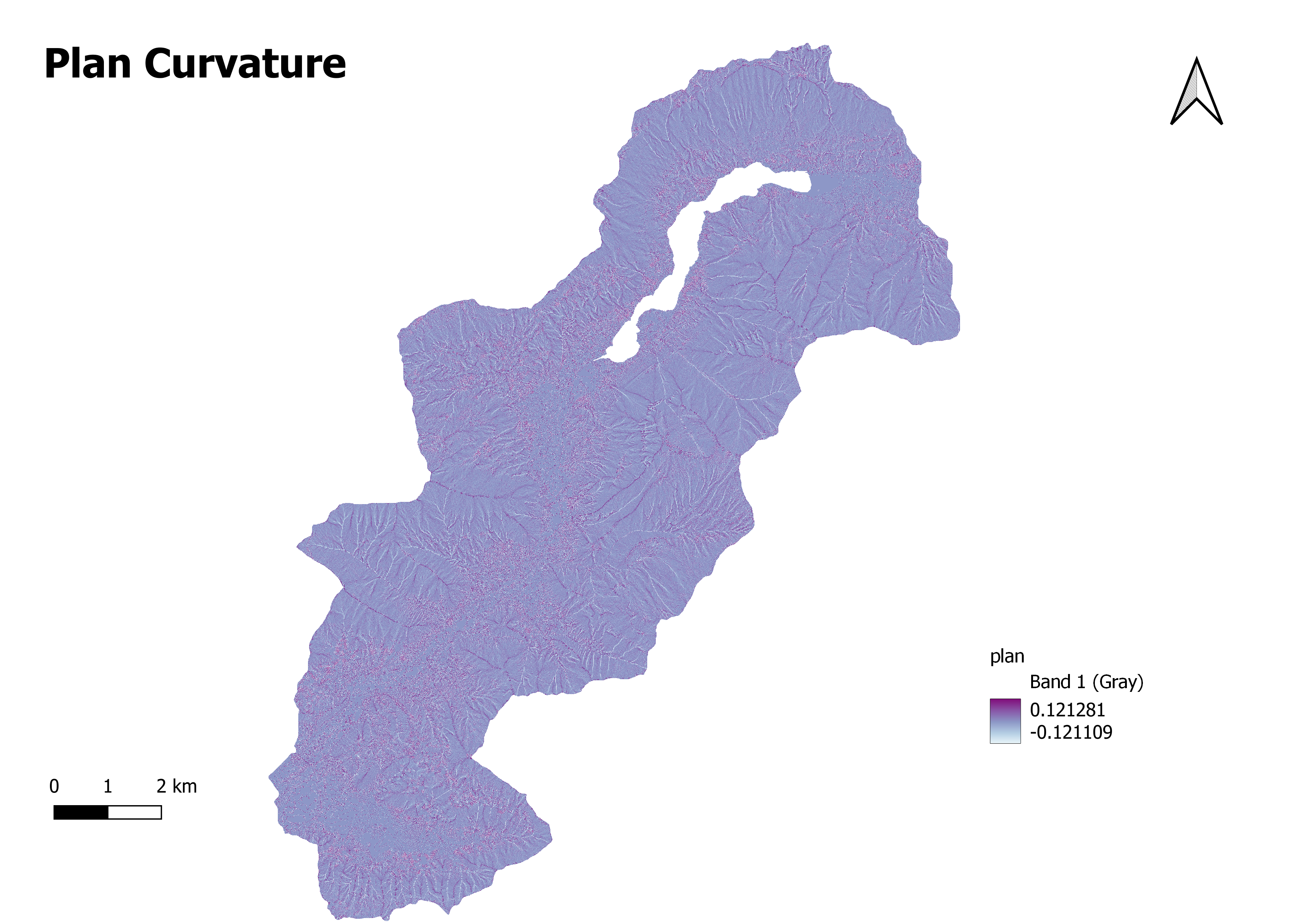
A plan curvature map represents the plan curvature values spatially using color gradients or contour lines. The map displays the distribution of different curvature values across the terrain, allowing for visualizing areas with positive (convex) or negative (concave) curvature.
Here's a brief explanation of the concepts related to plan curvature:
Convex Curvature: Areas with positive plan curvature are considered convex. In these regions, the land surface curls outward or upward, resembling a dome or a hill. Positive plan curvature indicates areas where slope increases in all directions away from a given point.
Concave Curvature: Areas with negative plan curvature are considered concave. In these regions, the land surface is curving inward or downward, resembling a basin or a valley. Negative plan curvature indicates areas where slope decreases in all directions away from a given point.
Zero Curvature: Areas with zero plan curvature have a flat or linear surface. The slope remains constant in all directions, indicating no curvature.
Plan curvature maps provide valuable insights into landforms and geomorphic processes. They can help identify ridges, valleys, slopes, and other landform shapes. These maps are useful in fields like geology, geomorphology, hydrology, and land management, where an understanding of the surface curvature and its implications is crucial for various applications, such as landform classification, erosion modeling, and landscape analysis.